Dooars Tour Packages
Dooars, West BengalExcellent from 8 reviews
Duration 6 days
Tour Type Special
Overview
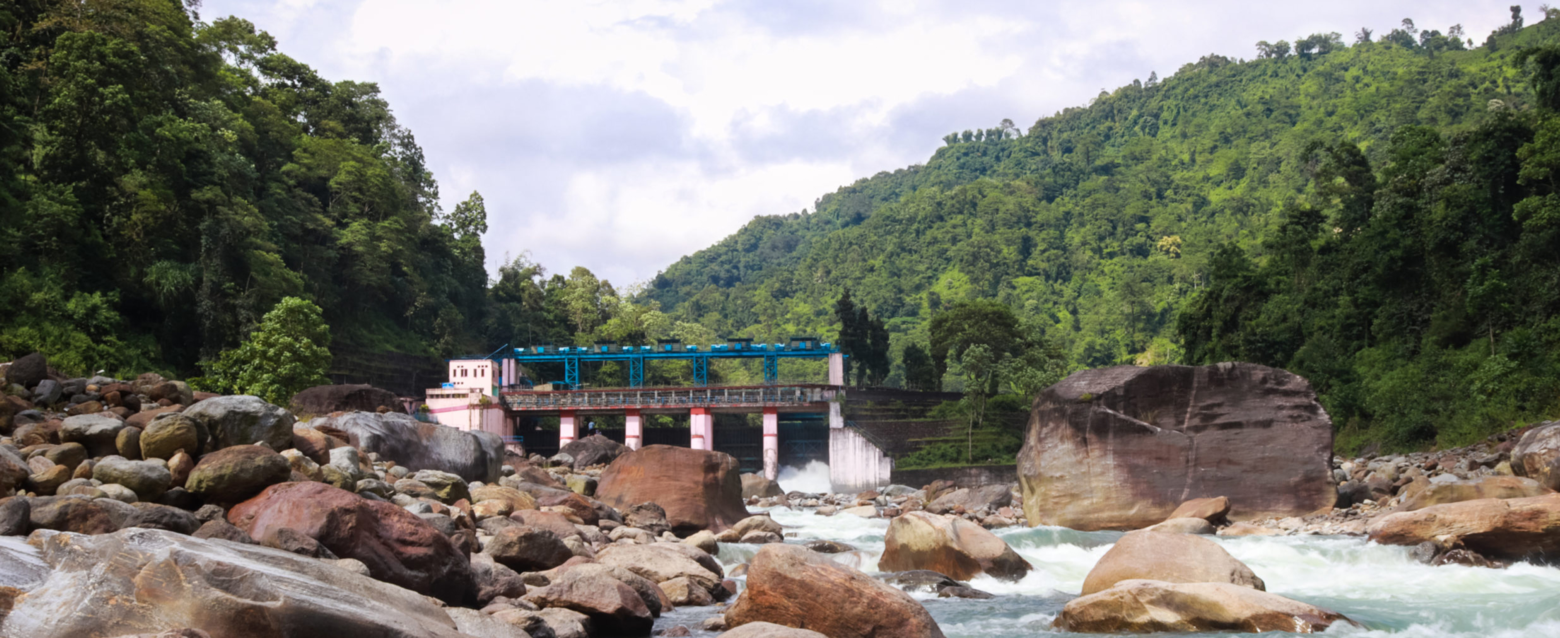
The Dooars or Duars are alluvial floodplains in northeastern India located north of the Brahmaputra tributary basin, south of the external foothills of the Himalayas. The area is about 30 km wide and extends about 350 km from the Dhansiri River in Assam to the Teesta River in West Bengal. This region forms the gateway to Bhutan. It is part of the Terai-Duar grasslands and savanna.
Duars means 'Darwaza' in Assamese, Bengali, Maithili, Bhojpuri and Magahi languages. There are 18 routes or gateways between the hills in Bhutan and the plains in India. The Sankaush River is divided into eastern and western dooars, covering an area of 880 km2 (340 sq mi). Western Dooars is also known as Bengal Dooars, and Eastern Dooars is also known as Assam Dooars. Dooars correspond to Terai in northern India and southern Nepal.
The average rainfall of the region is around 3,500 mm. The monsoon generally starts from mid-May and continues till the end of September. Winters are cold with misty mornings and nights. Summers are mild and have concise periods of the year.
Native peoples of the region generally have Mongoloid features. They are made up of several tribes in Assam and Bengal, including Bodo Rabha, Mach, Toto, Koch Rajbongshi, and Tamang / Murmi, Limbu, Rai, Lepcha Bengal.
Apart from the tribal community, a large Bengali also populates the Dooars, and their culture emerges with the native.
The Dooars is well-known for the tea gardens that were planted by the British. He imported labor from Nepal and Chota Nagpur and Santhal Parganas to work in the plantations. Oraon, Munda, Kharia, Mahali, Lohara, Chik Barik, and Santal are the tribals of these areas. Tribals of Chhotanagpur origin are employed in tea gardens, which started production during 1870. Before other communities settled, these people turned forests into villages and bastis (agricultural villages). The remains of these tribal peoples form the majority of the population in the Western Dooars.
Dooars is a large area and is located in many towns and cities. The largest city (ies) in the entire region extending from the foothills of Darjeeling to the foothills of Arunachal Pradesh are Siliguri and Jalpaiguri, which are geographically located in the Terai region rather than the Duars. This North Bengal city is well connected to the rest of the country by road, air, and railway and is the commercial hub of the region.
Other major cities in Assam are Kokrajhar, Bongaigaon, Golpara, Barpeta, and Dhubri. Cooch Behar, Dhupguri, Alipurduar, Malbazar, Mainaguri, and Birpara are the major cities of the Dooars in West Bengal and Kishanganj in Bihar. In addition, Phuntsholing can be considered a part of the region, near Jaigaon, the commercial capital of Bhutan.
The beauty of this region lies not only in its tea gardens but also in the dense forests, which are in rural areas. Many national parks and wildlife sanctuaries in Assam, like Mahananda Wildlife Sanctuary, Manas National Park, Jaldapara National Park, Baksa National Park, Gorumara National Park, & Chapramari Wildlife Sanctuary, in West Bengal are located in this region.
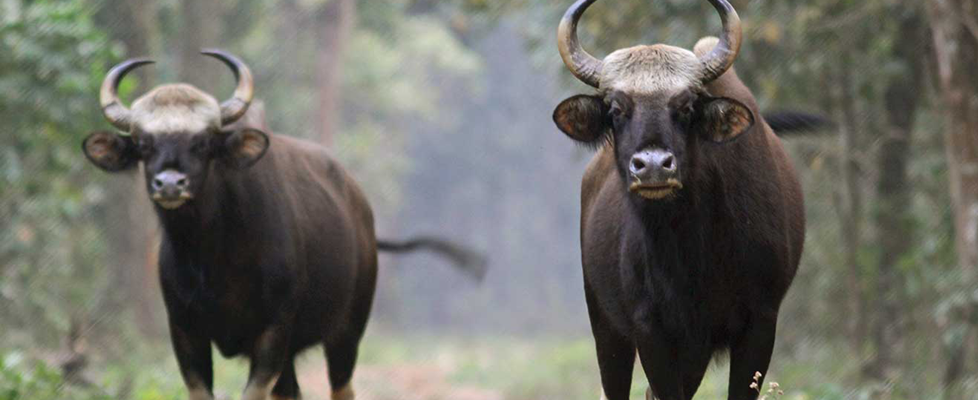
Rare endangered species of animals such as tigers, rhinoceros, and elephants make their habitat in the forests of the Dooars. Other animals include a variety of deer, bison, birds, and reptiles.
Itinerary
Included/Excluded
- Meet & Greet upon arrival at Airport / NJP Station. Hotel Accommodation as per the name mentioned in the Category for duration as mentioned in the itinerary.
- All applicable Transfers & Sightseeing by NON AC vehicle which will not be at disposal and will be exclusively used for the group as per the itinerary only (on point to point basis).
- This vehicle will also change sector wise.
- Government GST as applicable (as on date 01/07/2017 it is 05%)
- Cost for extra usage of vehicle, other than scheduled & mentioned in the itinerary.
- Cost for optional Tours, Up-gradation Charges, Guide, Sightseeing entrance fees.
- Cost for any other service not mentioned under the "Cost Includes" Head
- Cost for Airfare, Train fare, Insurance.
- Cost for any increase in taxes or fuel price, leading to change in package cost, which may come into effect prior to departure
- Additional cost arising due to mishaps, political unrest, natural calamities like - landslides, road blockage, etc. In such case extra will have to be paid on the spot by the guest directly.
- Personal expenses such as laundry, bottled water, soft drinks, incidentals, porter charges, tips etc.


